
- Home /
- Toys & Games /
- Remote & App Controlled Vehicles & Parts /
- Remote & App Controlled Vehicles /
- Crawlers
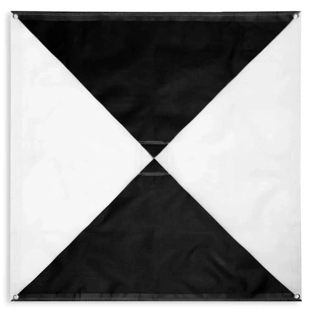
UAV Drone Iron Cross Ground Control Points/Aerial Mapping & Surveying (48"x48") | Center Passthrough | Pix4D & Drone Deploy Compatible (6 Pack)
Related Products
Traxxas Maxx WideMaxx 1/10 Brushless RTR 4WD Monster Truck (Yellow)
$569.95
Compare at 18 stores
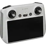
Original RC - Remote Controller for DJI Mini 3/DJI Mini 3 Pro/DJI Mavic 3 C/DJI Mavic 3/DJI Air 2S, Lightweight Body, FHD Screen, 4HR Battery, O3+
$339.18
Compare at 20 stores
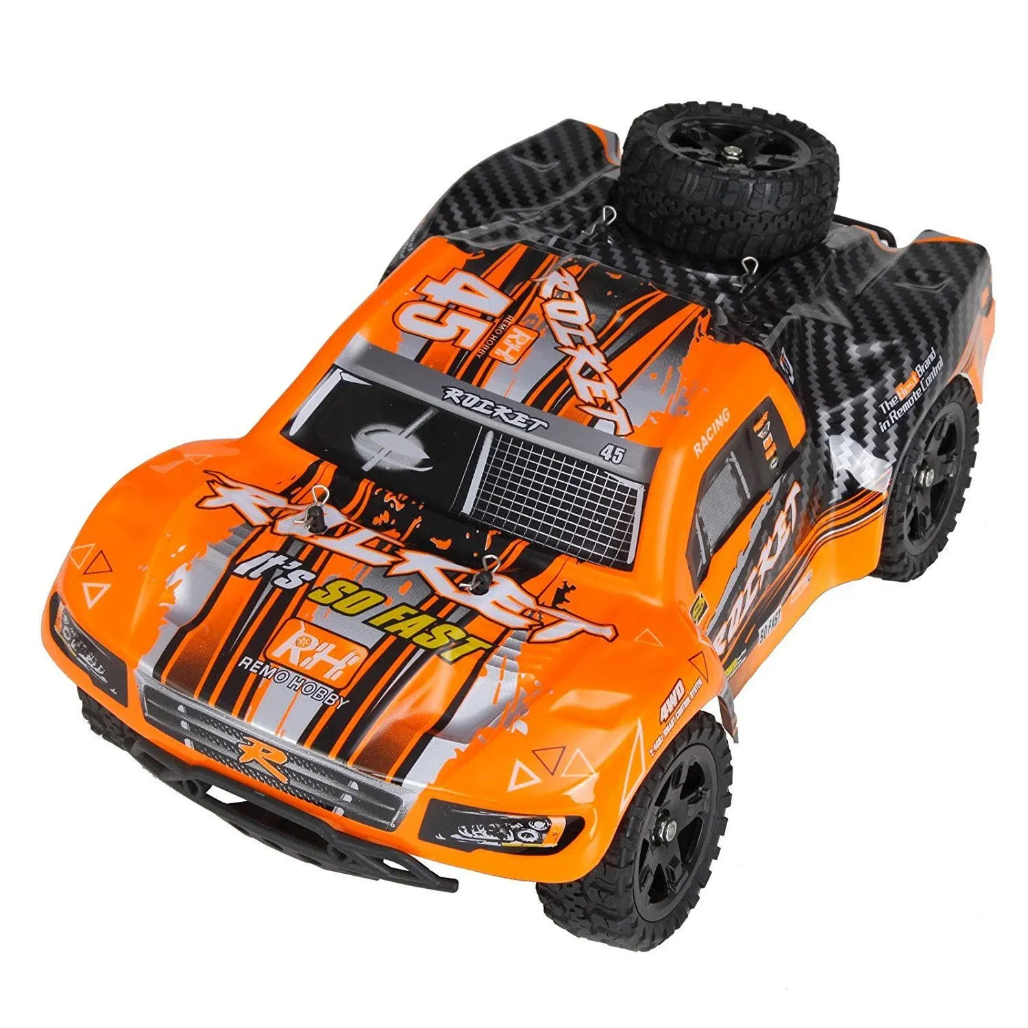
Cheerwing 1:16 Scale Short Course RC Car, 40KM/H High Speed 4WD Remote Control Truck Off-Road Remote Control Car
$26.95
Compare at 2 stores
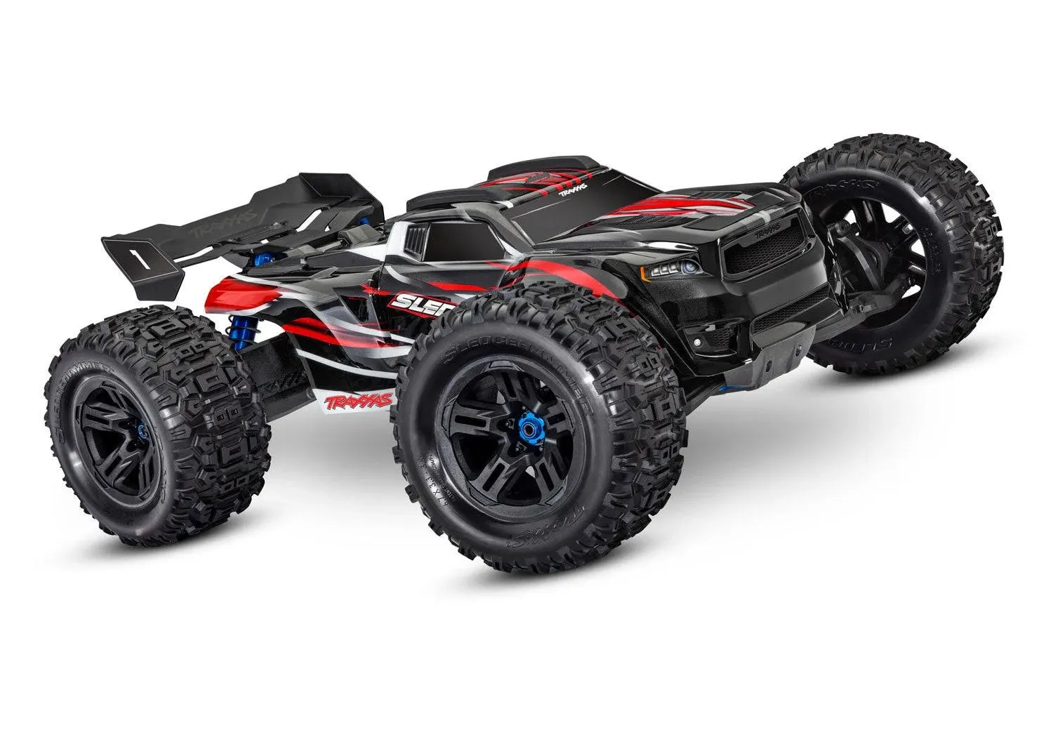
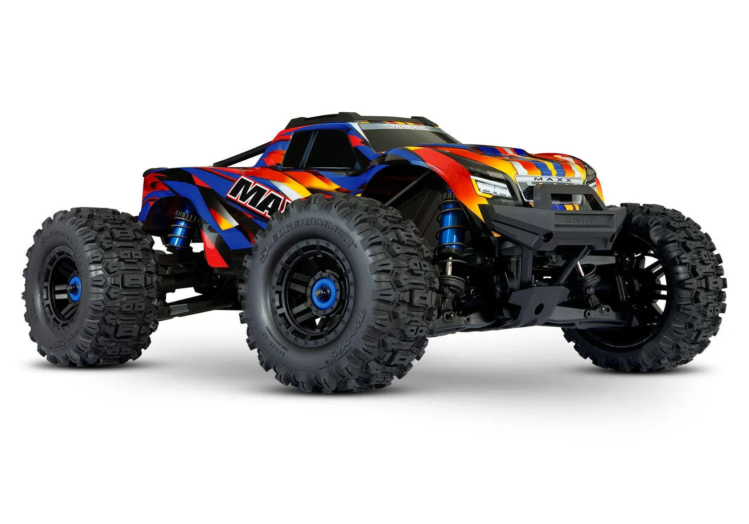
Traxxas Sledge 1/8 Scale 4WD Brushless Monster Truck Belted Tires
$769.95
Compare at 82 stores
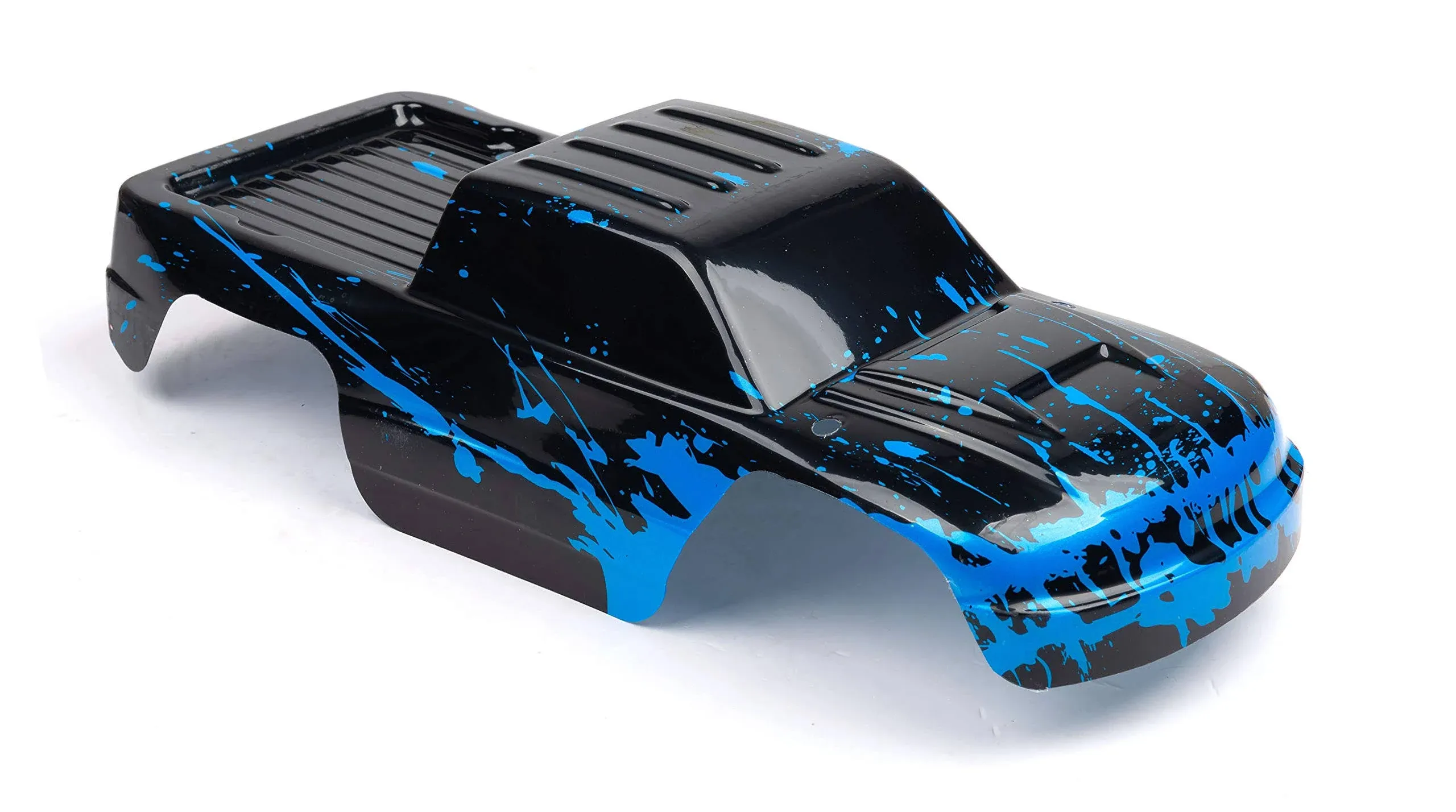
Custom Body Muddy Blue Over Black Compatible for 1/10 Stampede Bigfoot 4x4 VXL 2WD Slayer RC Car or Truck (Truck not Included) ST-BB-01
$47.86
Compare at 2 stores
Popular Products

Benadryl Allergy Relief, 25 mg, Liqui-Gels - 24 count
$8.09
Compare at 38 stores

Medical Terminology Made Incredibly Easy By Lippincott Williams & Wilkins
$9.44
Compare at 26 stores

Maison Margiela Replica Coffee Break Fragrance 100ml. Limited Edition,3.4 Fl Oz (Pack of 1),MMMNCZ027
$69.99
Compare at 19 stores
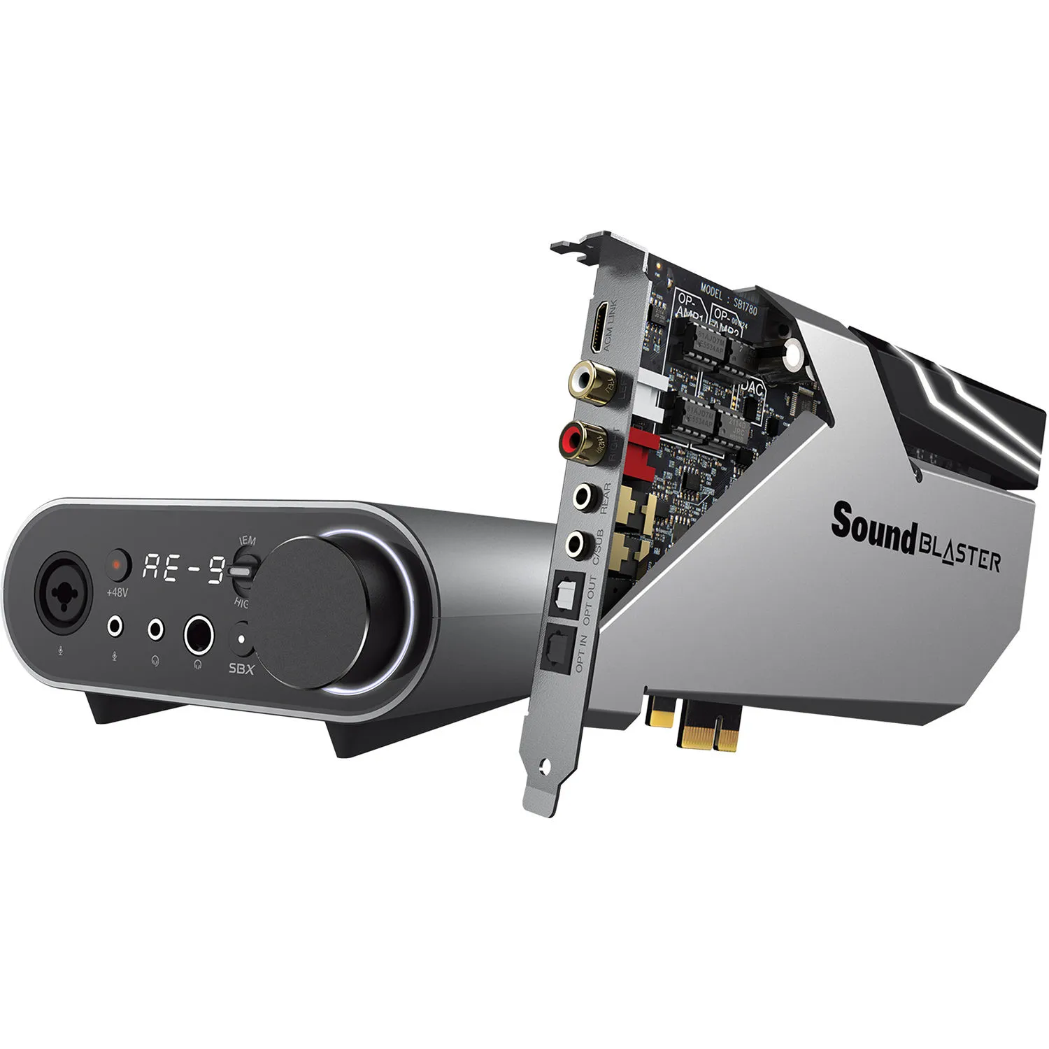
Creative - 70SB178000000 - Labs Sound Blaster AE-9
$332.49
Compare at 50 stores
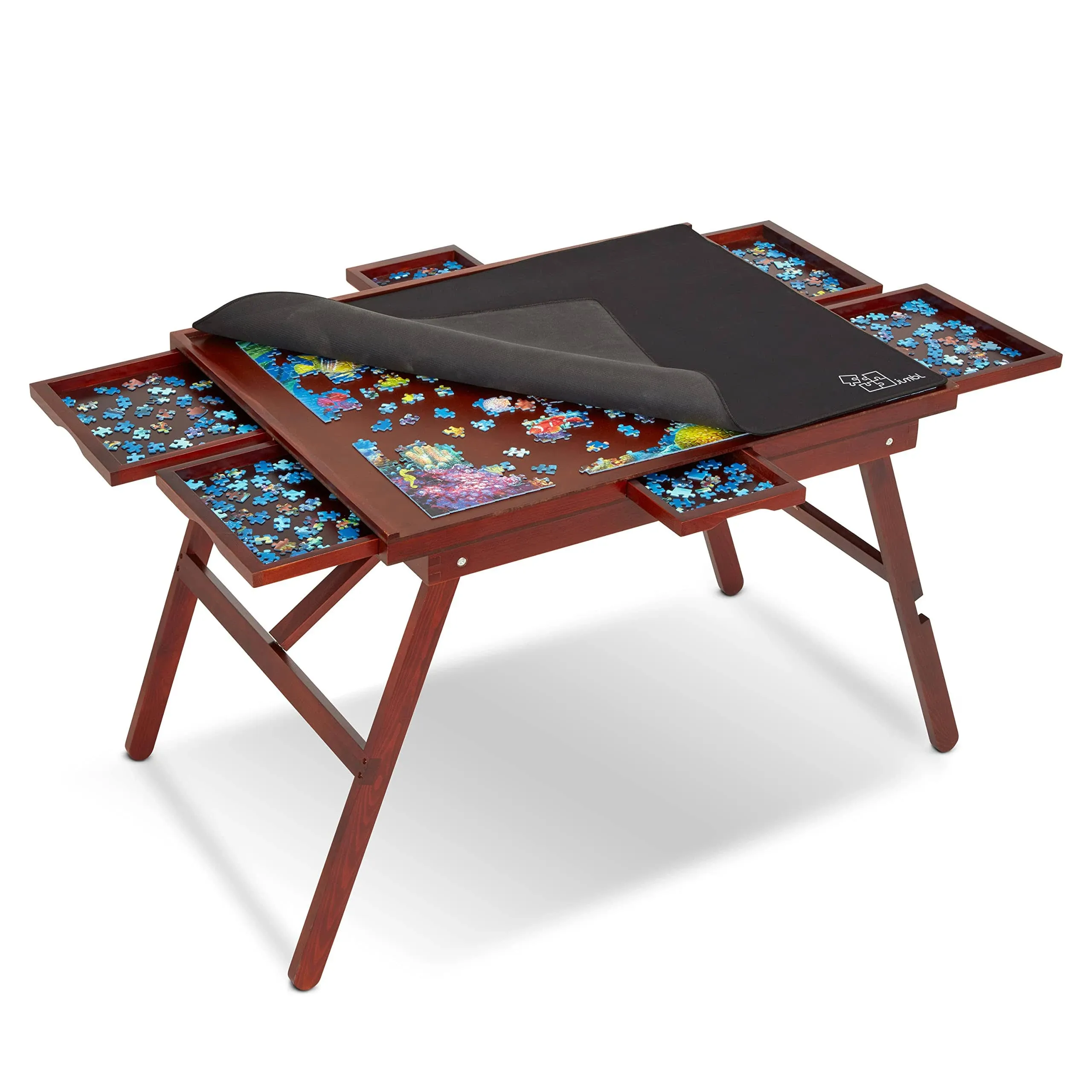
Jumbl 1000-Piece Puzzle Table w/Cover | 23 x 31 Jigsaw Puzzle Board w/Legs 6 Removable Storage & Sorting Drawers | Smooth PLA
$53.14
Compare at 11 stores